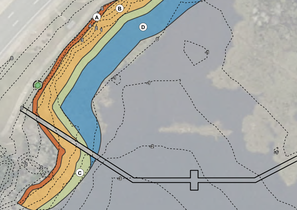
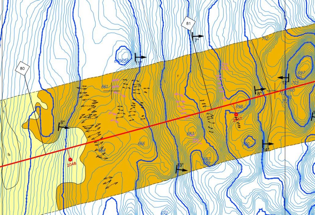
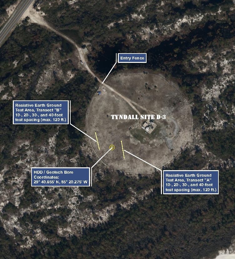
At Northern Gulf, our geospatial services are routinely applied throughout all phases of our work, from initial site evaluations and proposals to onsite data collection of natural resource data, geographic analysis, and contemporary mapping that meets our client’s needs.
Our projects and scientific services are technical in nature, as we typically work alongside engineers, scientists, and planners to provide input on the location of natural resources within their planned development or infrastructure projects. We provide our clients with the highest fidelity data available on the market.
Related Projects
Trans Americas Fiber System (TAFS)
Cable Route TAM-1 is the first fiber optic cable specifically designed to meet the exploding demand for data in thetrans Americas region, revolutionizing connectivity solutions through state-of-the-art products andservices. The initial system rollout covers more than 7,000 km and will link Florida with Central Americaand the wider Caribbean. This is the first stage of a…
Seaside, Gulf-Front Environmental Assessment
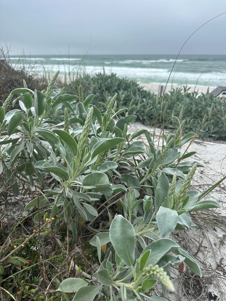
Environmental Assessment for Coastal Upland Development Compliance in Walton County, FL Northern Gulf Environmental, LLC (NGE) prepared a detailed Environmental Assessment (EA) in compliance with Walton County Land Development Code (LDC) habitat protection standards. This project centered around a coastal parcel intersecting the Coastal Construction Control Line (CCCL) and the Coastal Protection Zone (CPZ)—areas subject…
Trans Caribbean Fiber System (TCFS)
TAM‑1 Subsea Fiber Optic Cable – Vero Beach Landing Northern Gulf Environmental led the Florida environmental permitting strategy for the TAM‑1 subsea fiber optic cable system, a multi‑national planning–design–build initiative connecting South America and the U.S. East Coast. We coordinated closely with the U.S. Army Corps of Engineers (USACE) and Florida Department of Environmental Protection…
