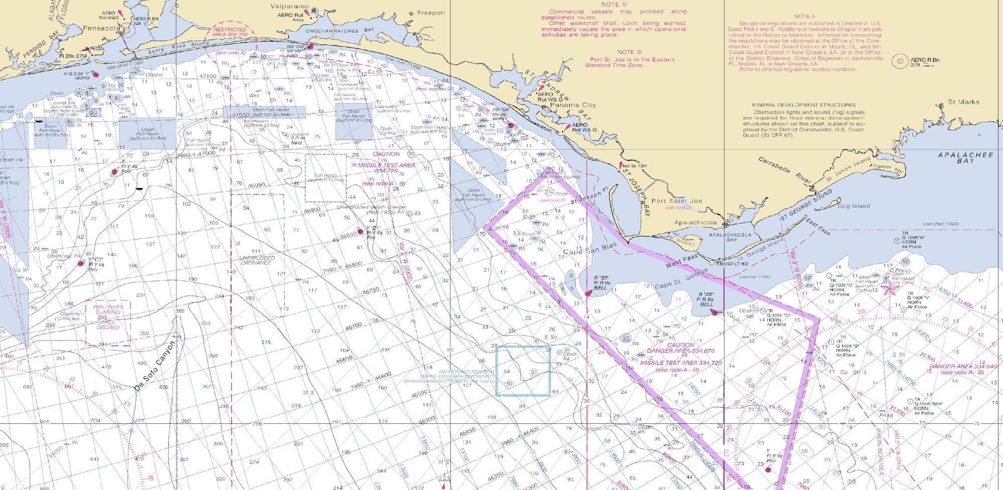
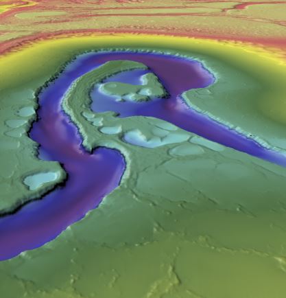
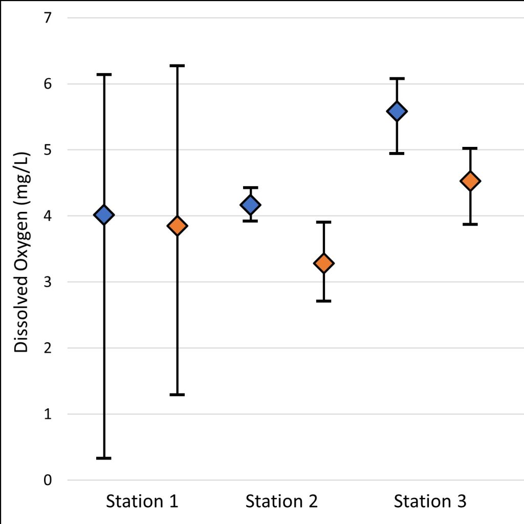
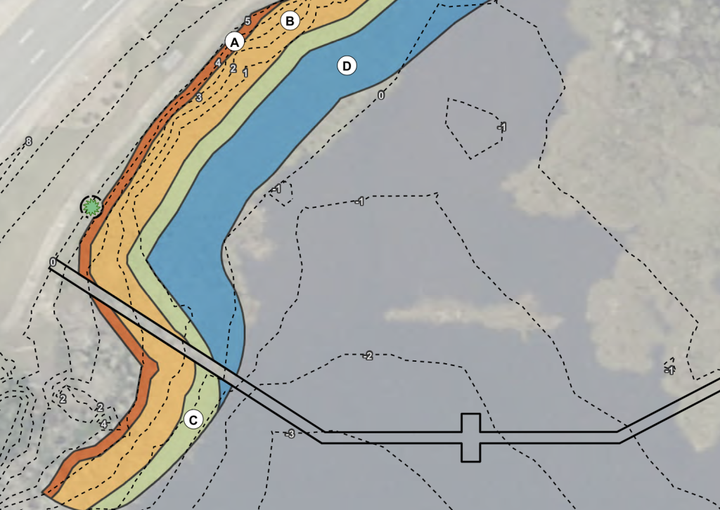
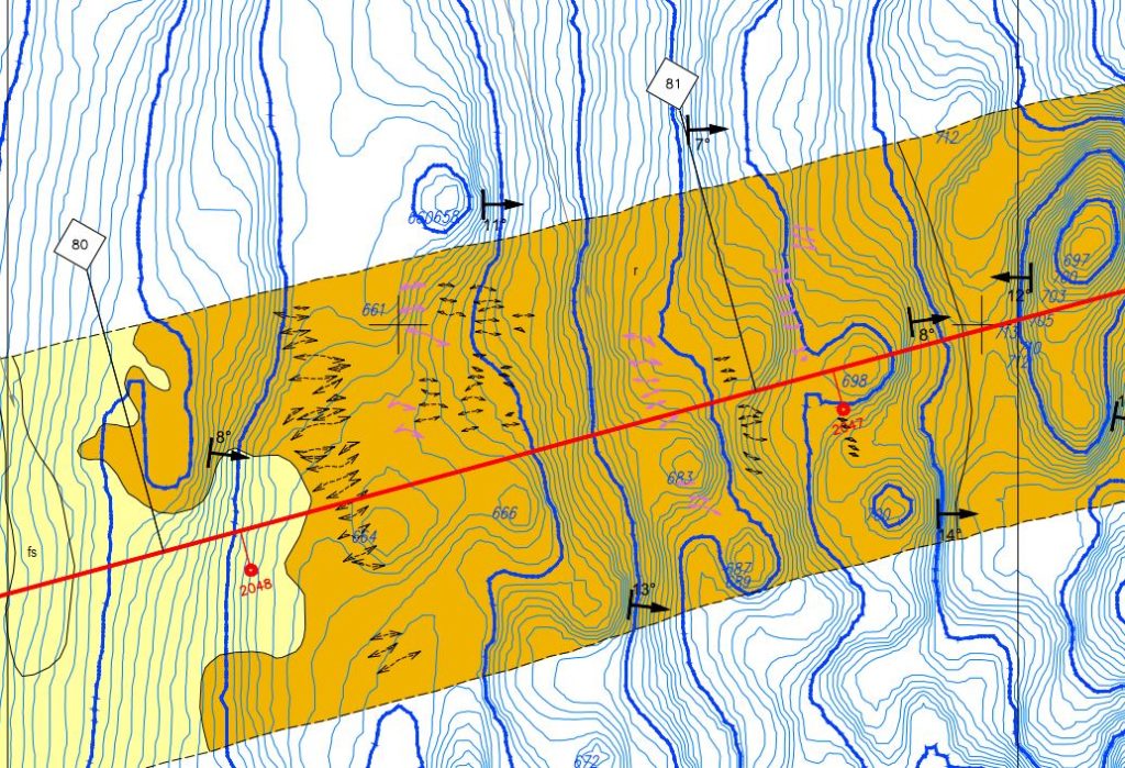
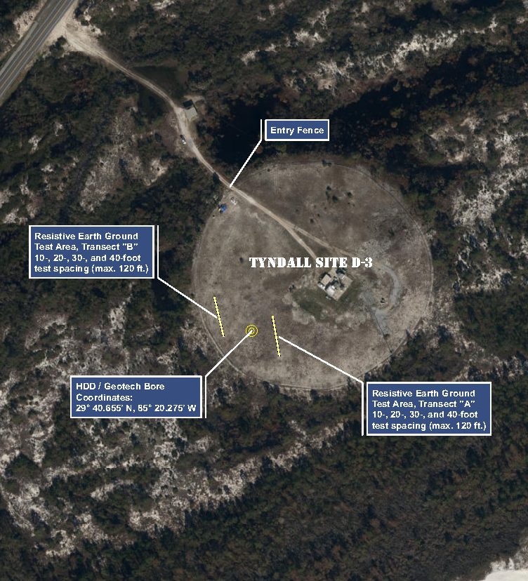
At Northern Gulf, our geospatial services are routinely applied throughout all phases of our work, from initial site evaluations and proposals to onsite data collection of natural resource data, geographic analysis, and contemporary mapping that meets our client’s needs.
Our projects and scientific services are technical in nature, as we typically work alongside engineers, scientists, and planners to provide input on the location of natural resources within their planned development or infrastructure projects. We provide our clients with the highest fidelity data available on the market.
